Image credits
Where Perutrip’s images come from. Photographs include their creator and, where available, their source and usage licence. Generated illustrative images are explained separately.
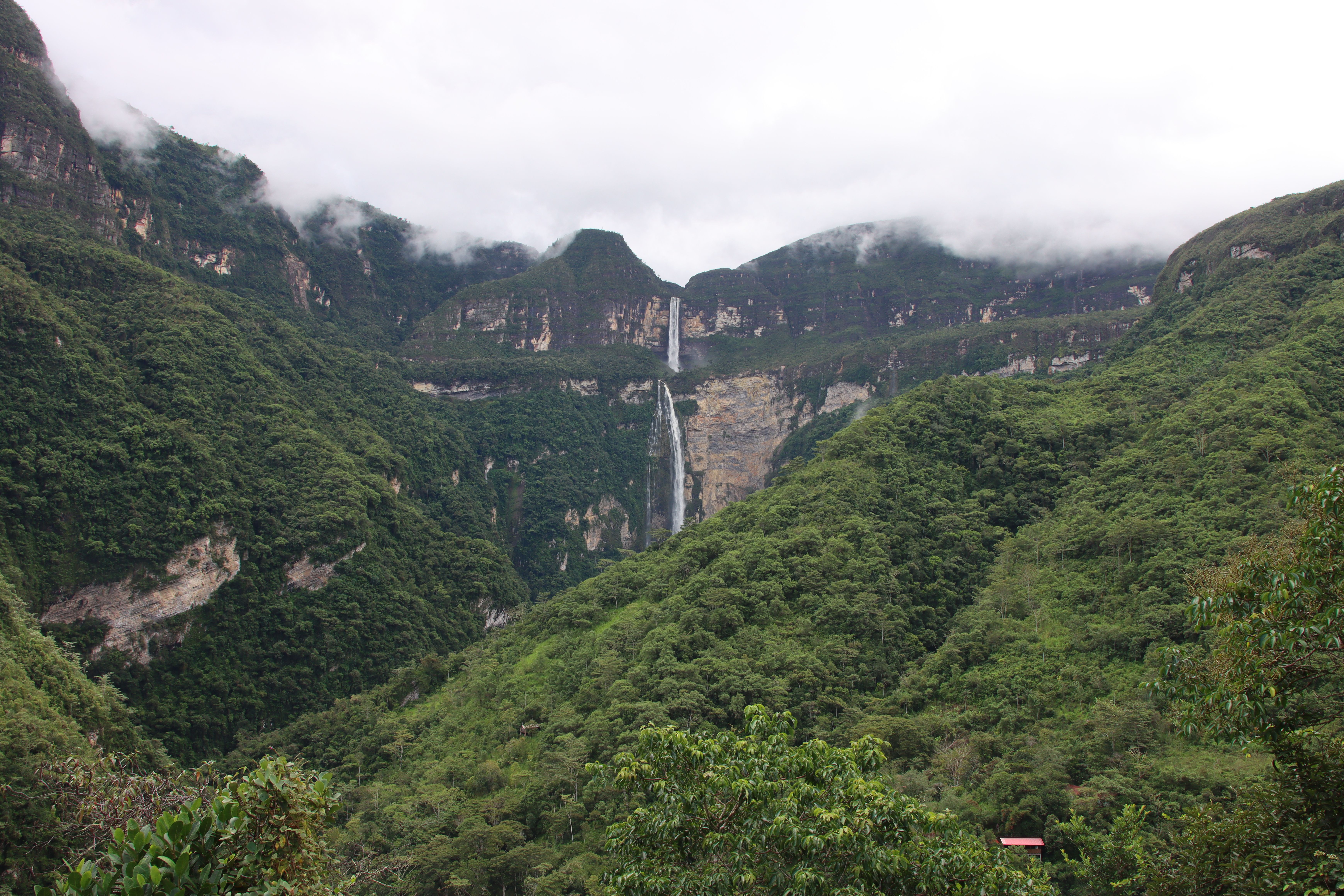 Catarata de Gocta, 2023 (05) — Draceane, Wikimedia Commons. CC BY-SA 4.0.PhotographerView source photographCC BY-SA 4.0Gocta, May 2023. The waterfall is in Amazonas, outside Chachapoyas. Resizing, compression and display cropping by Perutrip. Image license: CC BY-SA 4.0.Draceane
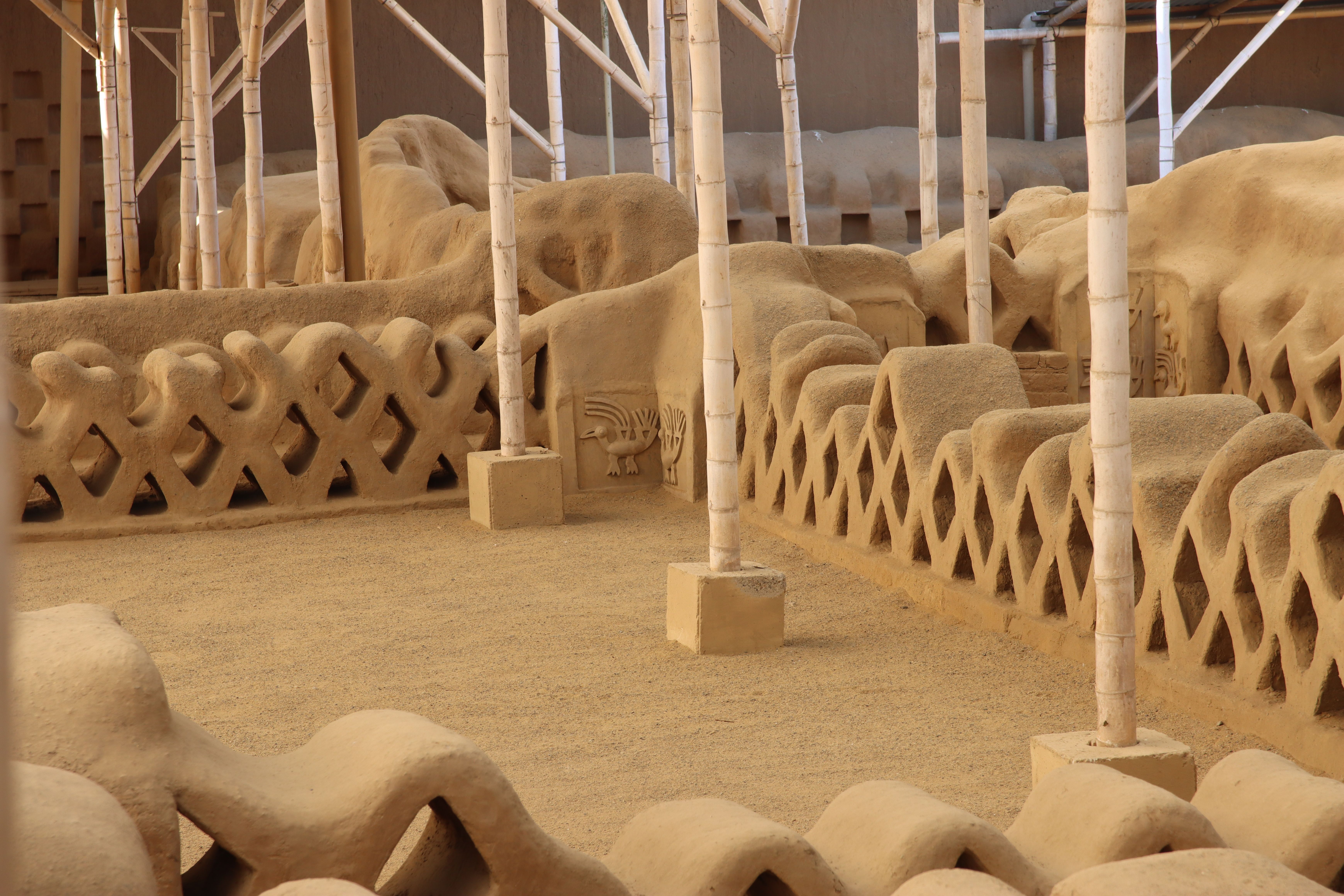 Chan Chan, 2023 (32) — Draceane, via Wikimedia Commons. CC BY-SA 4.0.PhotographerView source photographCC BY-SA 4.0The archaeological site of Chan Chan near Trujillo. Resizing, compression and display cropping by Perutrip. Image license: CC BY-SA 4.0.Draceane
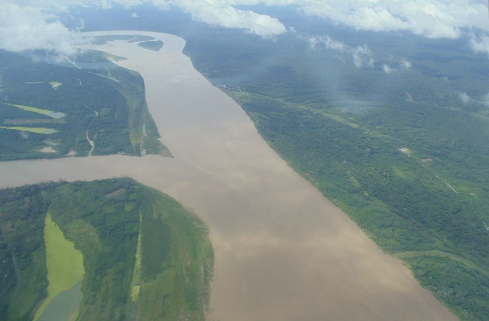 Río Amazonas cerca a Iquitos — Freddie989, Wikimedia Commons. CC0 1.0.PhotographerView source photographCC0 1.0The Amazon near Iquitos, seen from the air in 2014. Resizing, compression and display cropping by Perutrip. Image license: CC0 1.0.Freddie989
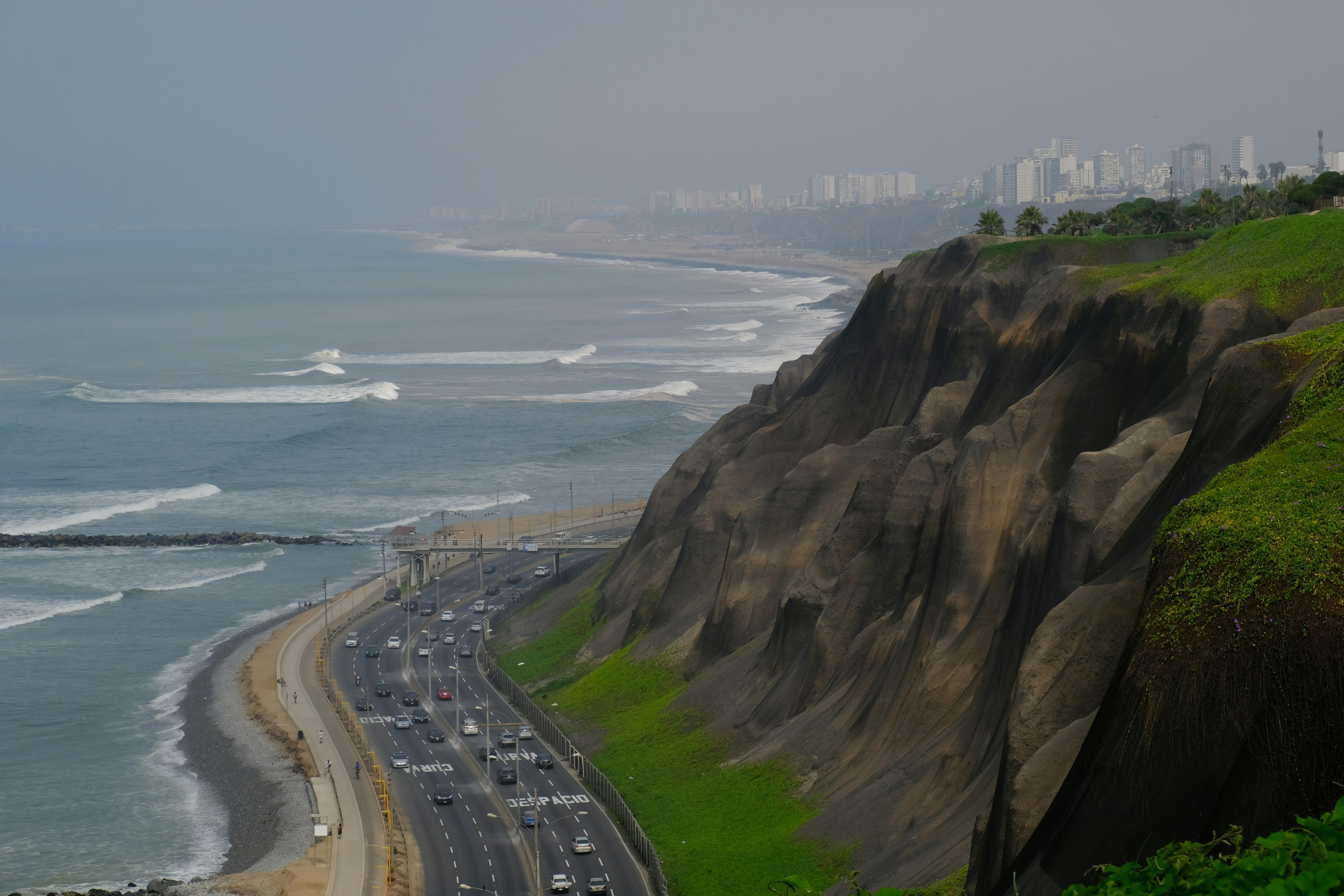 Simone Dinoia / UnsplashView source photographUnsplash LicenseMiraflores. Resized and compressed for display; framing may vary with screen size.Simone Dinoia
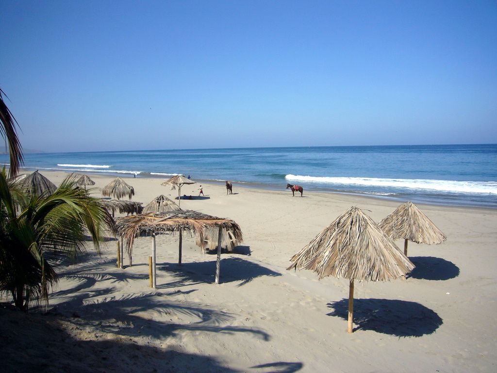 Mancorabeach1 — Theodore Scott, via Wikimedia Commons. CC BY 2.0.PhotographerView source photographCC BY 2.0Máncora in December 2007. A historical beach view, not a record of current facilities. Resizing, compression and display cropping by Perutrip. Image license: CC BY 2.0.Theodore Scott
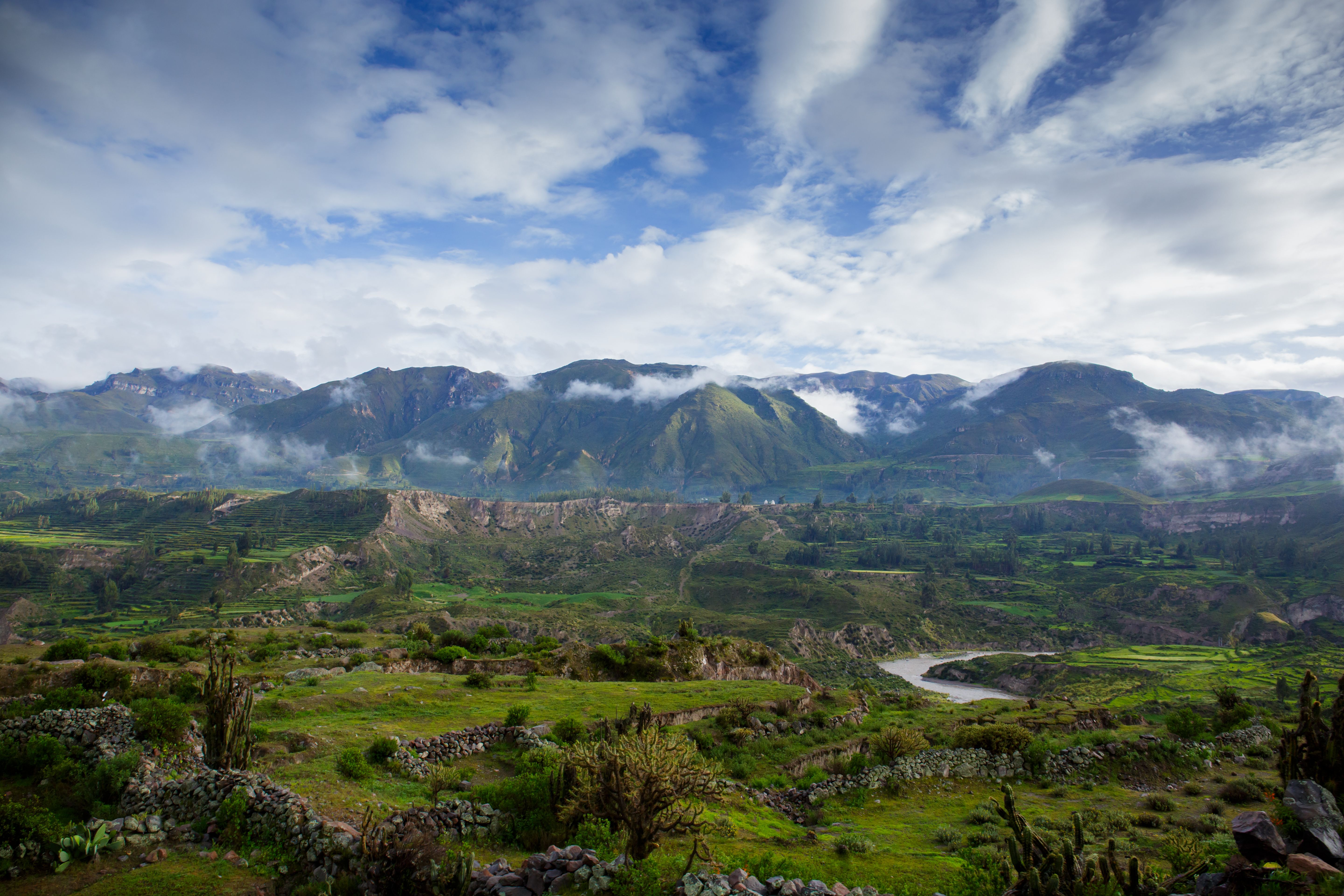 Thomas Fuhrmann / Wikimedia Commons — CC BY-SA 4.0PhotographerView source photographCC BY-SA 4.0Green terraces and the river in the Colca Valley beneath a cloudy sky. Resizing, compression and display cropping by Perutrip. Image license: CC BY-SA 4.0.Thomas Fuhrmann
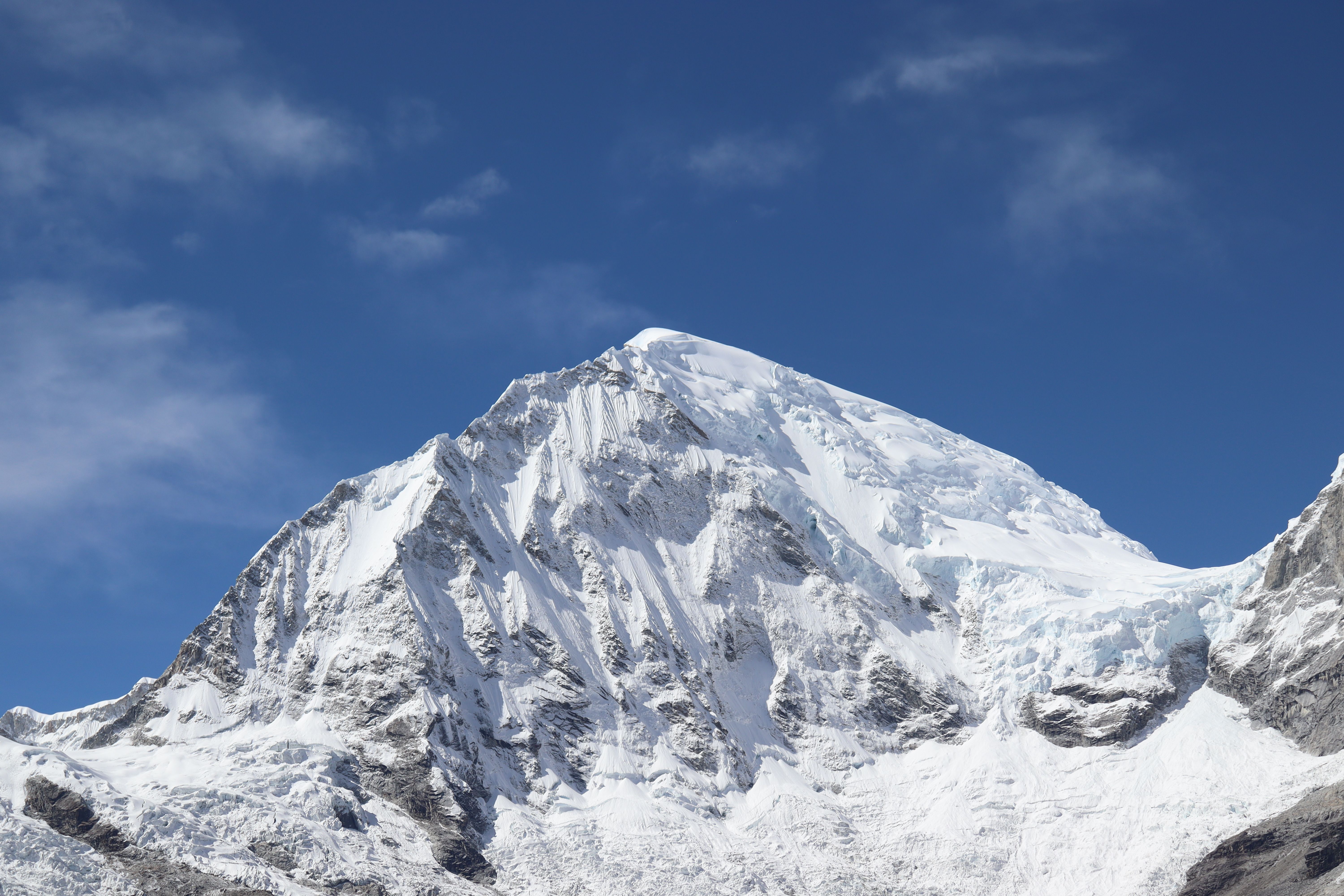 Carlo Brescia / Wikimedia Commons — CC BY-SA 4.0PhotographerView source photographCC BY-SA 4.0Huascarán Sur, seen from kilometre 42 on the road to Portachuelo. Resizing, compression and display cropping by Perutrip. Image license: CC BY-SA 4.0.Carlo Brescia
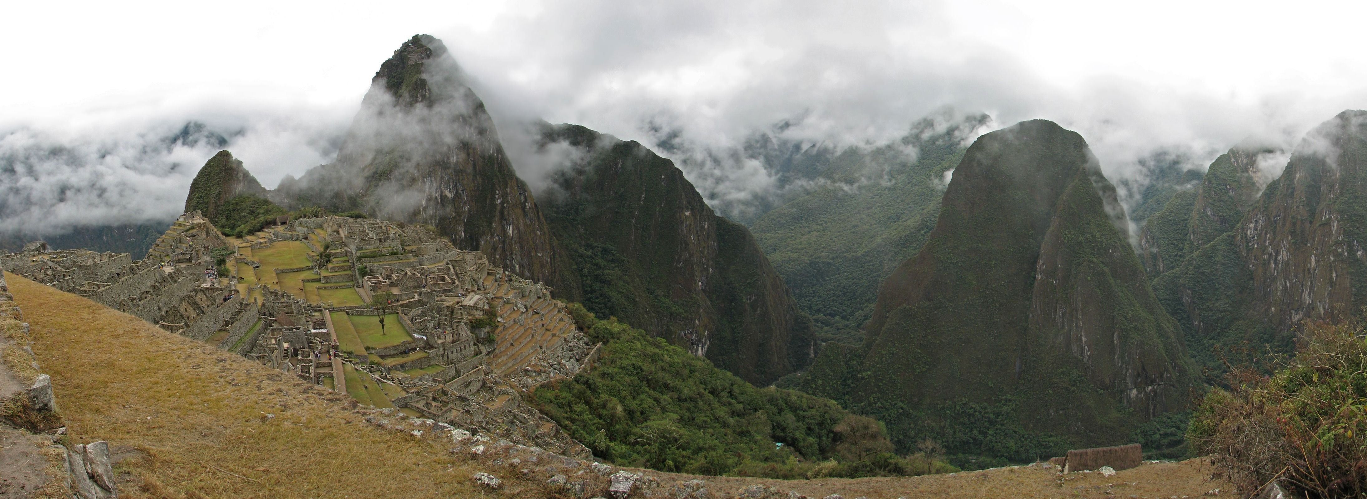 Panoramic Image of Machu Picchu and the Sacred Valley — Rubyk; panorama/edit: Fir0002; crop: Dschwen. CC BY-SA 2.5, via Wikimedia Commons. 2005.View source photographCC BY-SA 2.5Machu Picchu in 2005. Responsive resizing, compression and display cropping by Perutrip; this image adaptation is also licensed CC BY-SA 2.5.Rubyk
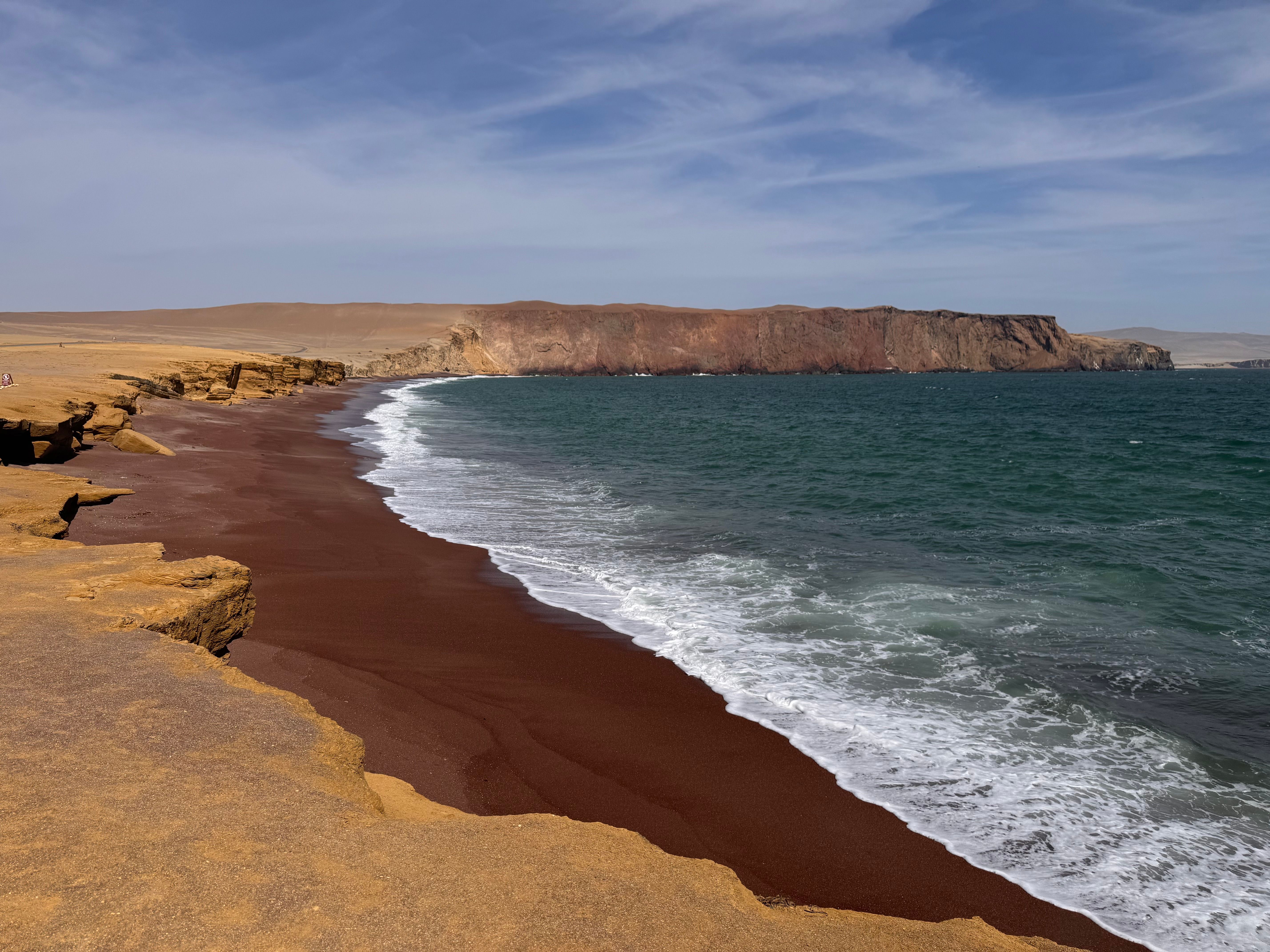 Charlesdarling / Wikimedia Commons — CC0 1.0PhotographerView source photographCC0 1.0 Universal Public Domain DedicationPlaya Roja on the Paracas coast. Resizing, compression and display cropping by Perutrip. Image license: CC0 1.0 Universal Public Domain Dedication.Charlesdarling
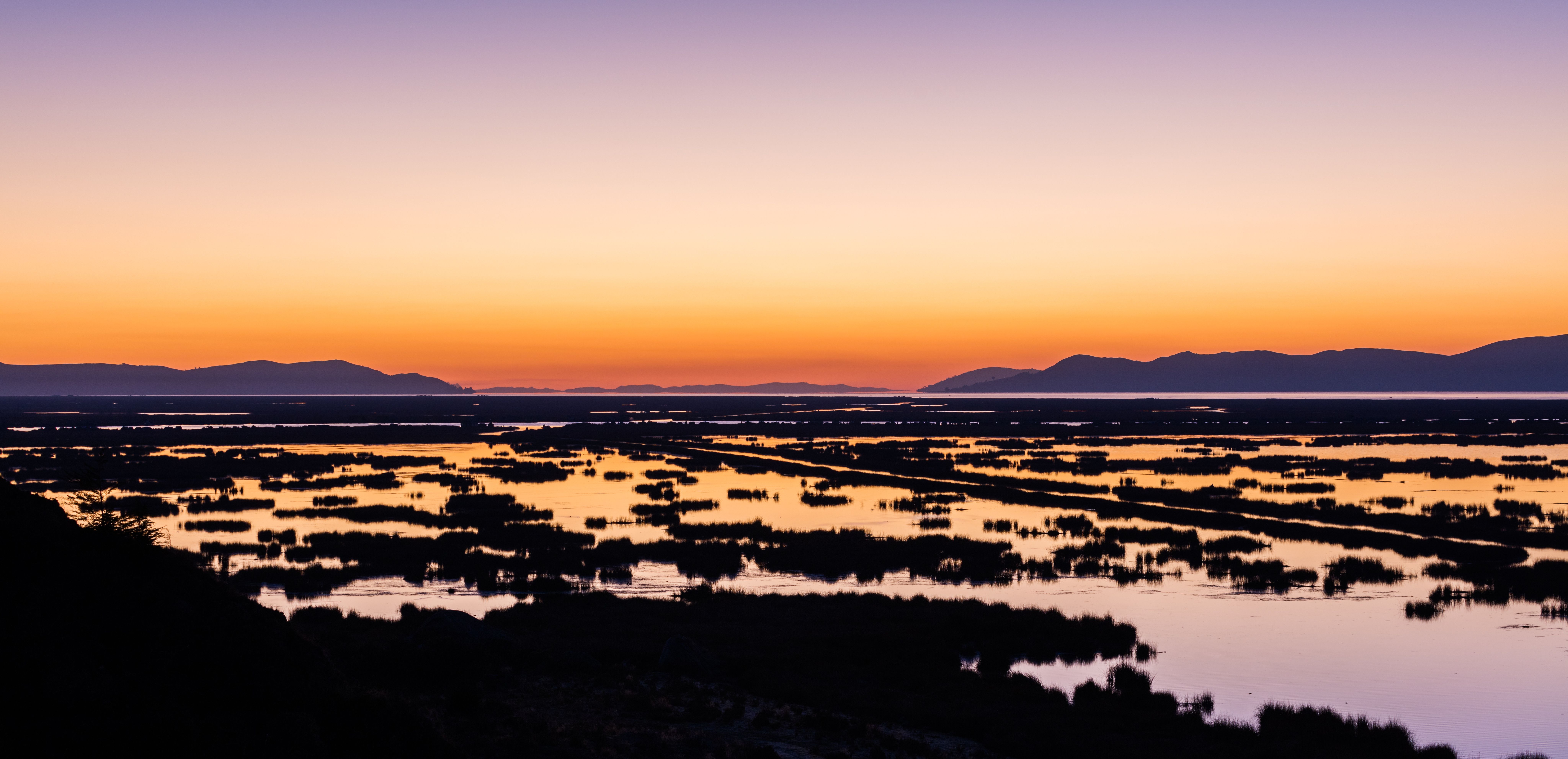 Diego Delso, delso.photo — CC BY-SA 4.0PhotographerView source photographCC BY-SA 4.0Sunrise over Lake Titicaca near Puno. Resizing, compression and display cropping by Perutrip. Image license: CC BY-SA 4.0.Diego Delso
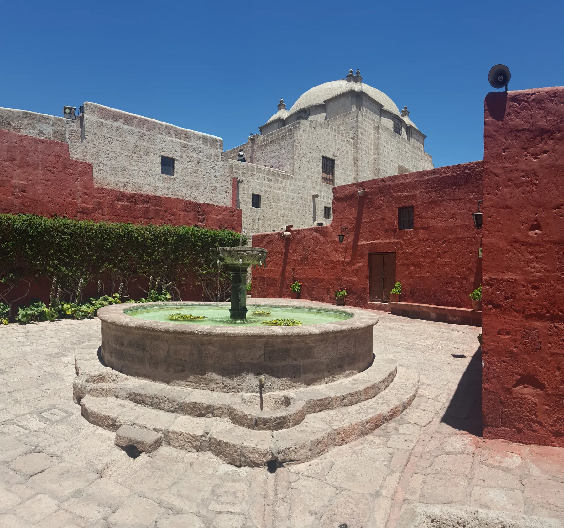 SantiagostucchiView source photographCC BY-SA 4.0Behind Santa Catalina’s walls: a courtyard with a fountain and red façades. Orientation normalized and resized to WebP.
- Meg von HaartmanView source photographUnsplash LicenseOllantaytambo: consider how you will reach your departure point too.
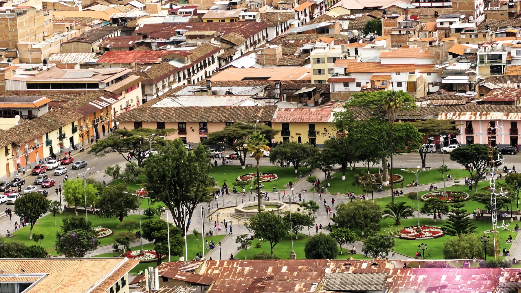 Burkhard MückeView source photographCC BY-SA 4.0Cajamarca's Plaza de Armas from Santa Apolonia in 2020; this is not Belén or Cumbemayo. Resized to responsive WebP formats; no crop. Derivative WebP files under CC BY-SA 4.0.
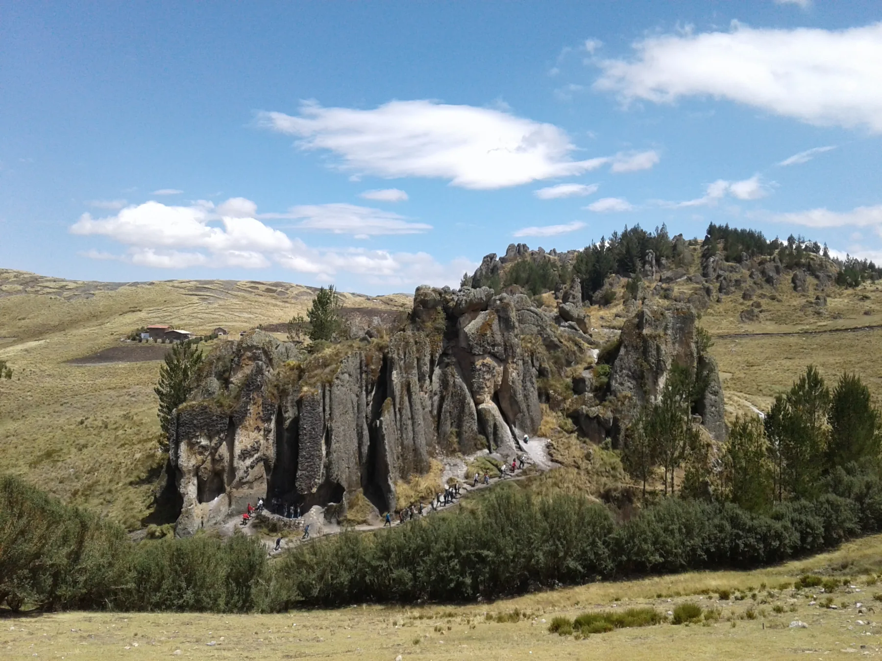 Polmartin14+View source photographCC BY-SA 4.0Cumbemayo's rocky landscape near Cajamarca, photographed in 2016. Resized to responsive WebP formats; no crop. Derivative WebP files under CC BY-SA 4.0.
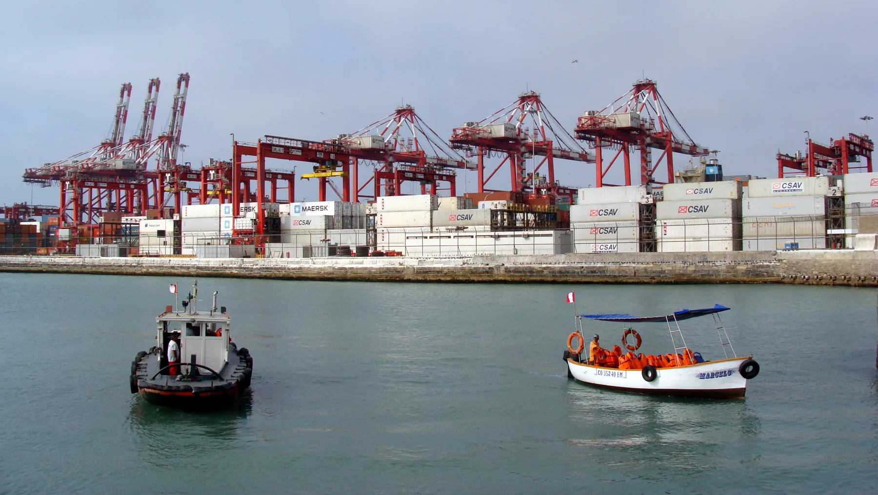 Puerto de Callao.jpg — Quado678View source photographCC BY-SA 3.0Callao's working port in a 2013 photograph; this image does not show today's port operations or a visitor route. Resized to responsive WebP formats; no crop. Derivative WebP files under CC BY-SA 3.0.Quado678
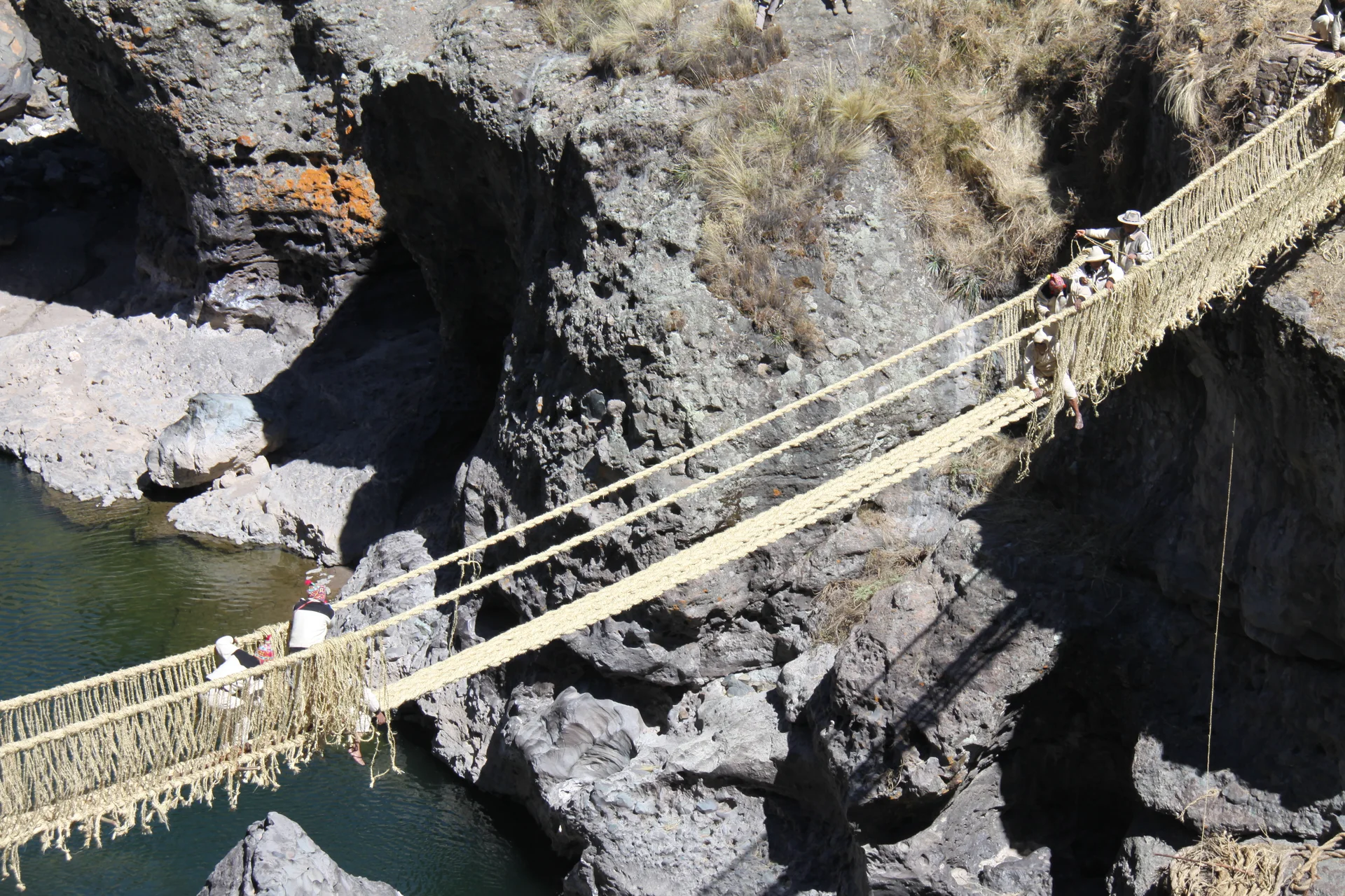 Ricardo Chirinos PortocarreroView source photographCC0 1.0Work on the Q’eswachaka bridge over the Apurímac, June 2014. Resized and converted to WebP; not cropped.
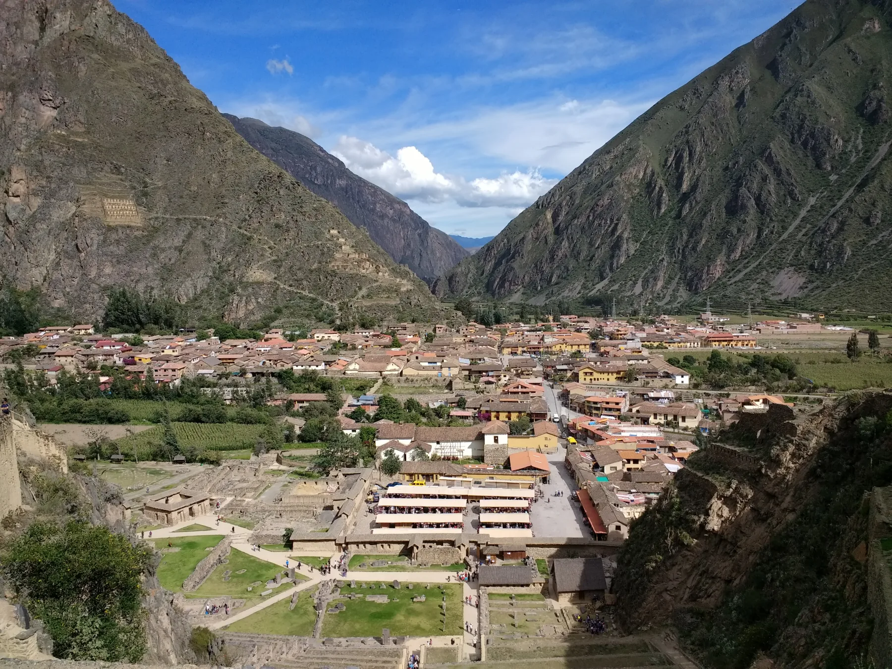 Mx. GrangerView source photographCC0 1.0Ollantaytambo is a lived-in town beside the archaeological terraces; this 2017 photo does not show current access or timetables. Resized to responsive WebP formats; no crop.
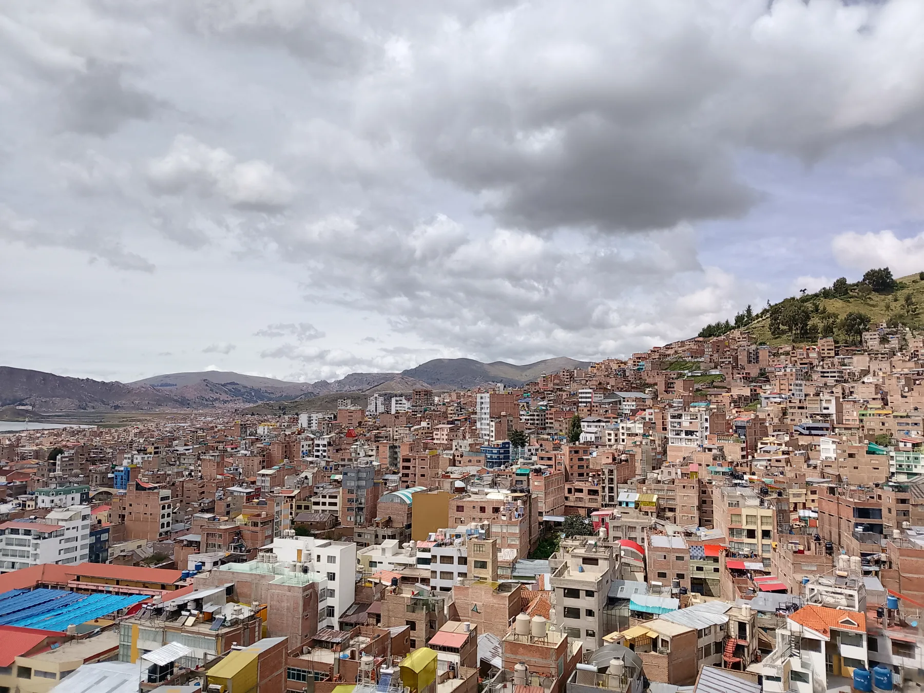 Vista de la ciudad de Puno 01 — Omar Vega RamosView source photographCC BY-SA 4.0Puno rising up the hills beside Lake Titicaca, photographed in April 2025; this is not a current visitor route. Resized to responsive WebP formats; no crop. Derivative WebP files under CC BY-SA 4.0.Omar Vega Ramos
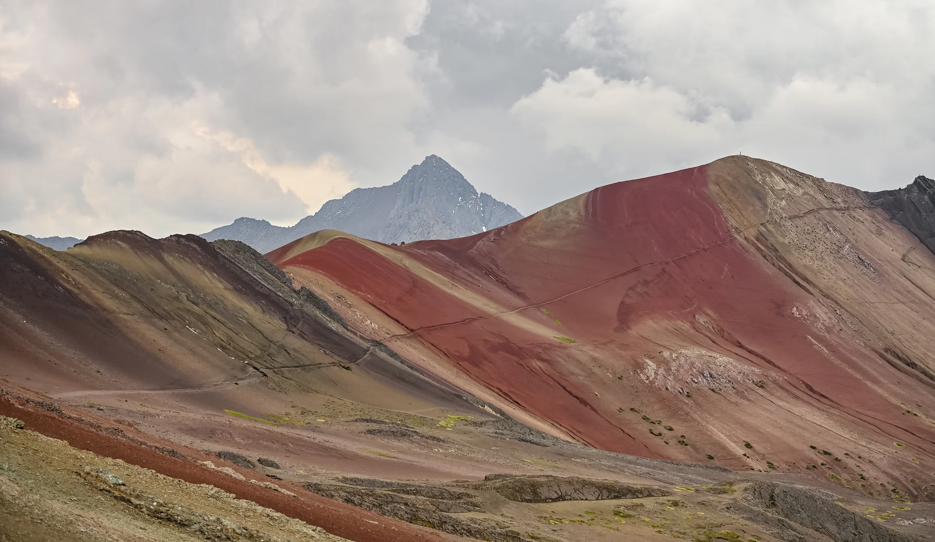 View of Vinicunca mountain — Alec GamoffView source photographCC BY 2.0Vinicunca: colourful mountain slopes, photographed here in 2018. Resized and converted to WebP; not cropped.Alec Gamoff
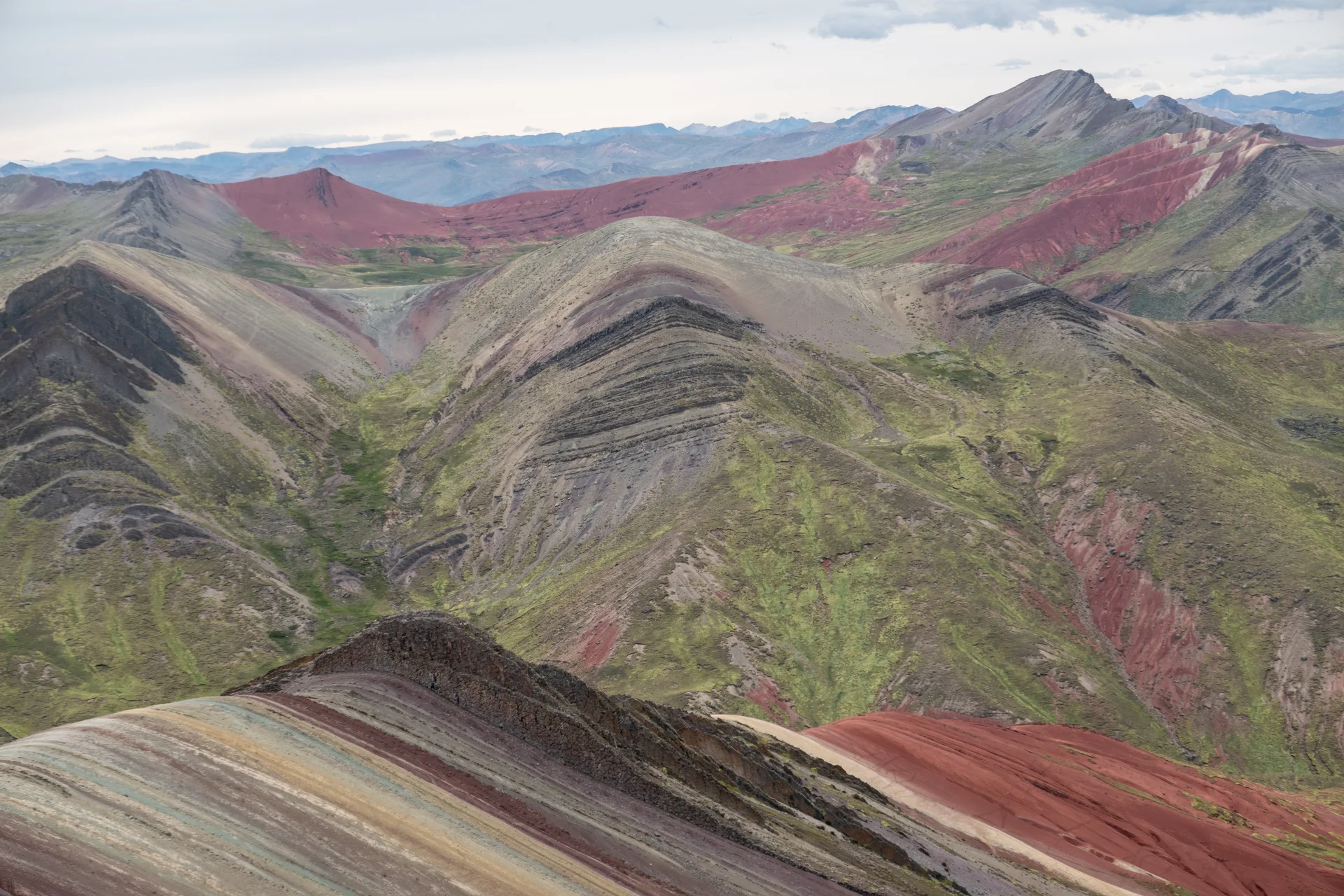 PsamatheMView source photographCC BY-SA 4.0Palccoyo: several colourful ridges within the same landscape. Resized and converted to WebP; not cropped.

.jpg)
.jpg)


Illustrative images for the collections
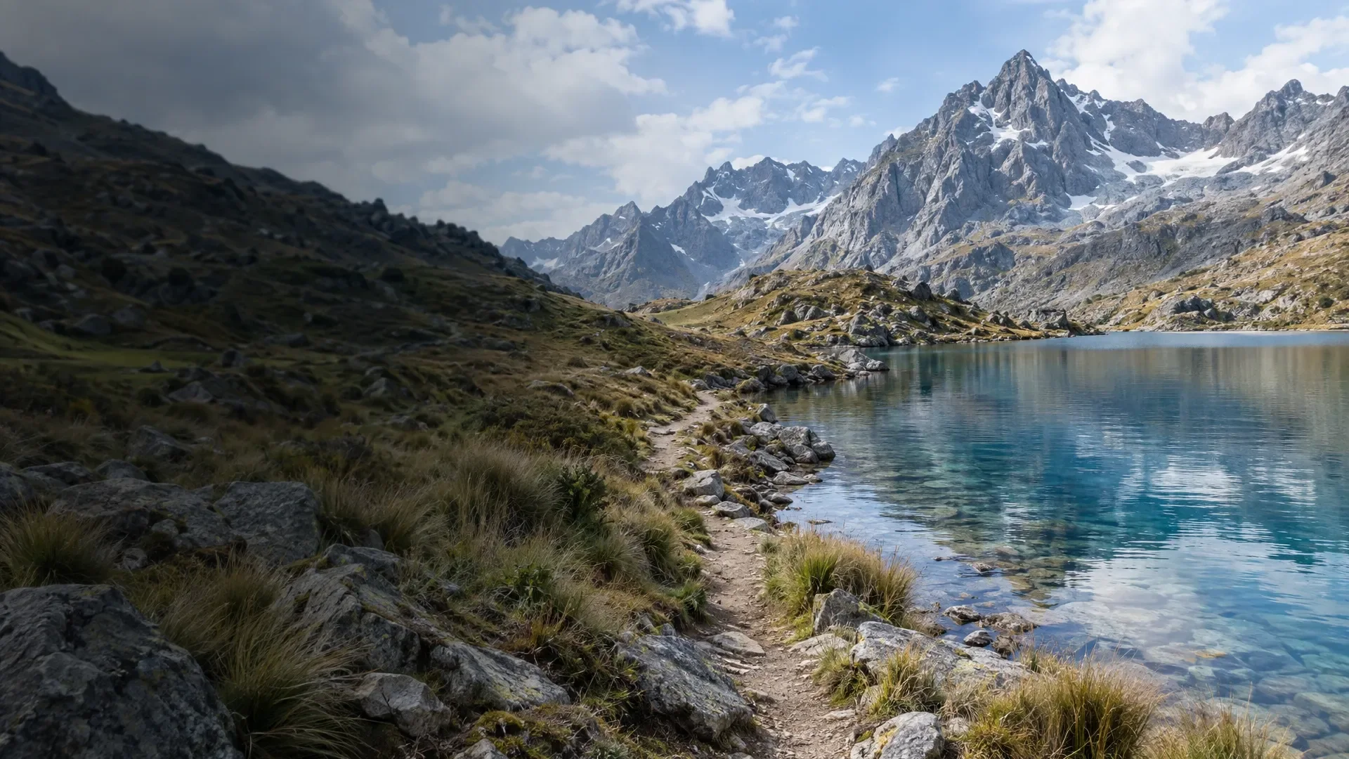
The collection images below were generated for Perutrip using AI via fal.ai, with GPT Image 2.5 Flare. They set the scene for a collection of guides: they are not travel photographs, depictions of a specific attraction or evidence of a personal experience. Photographs accompanying individual destinations and travel stories retain their own attribution.
The phone, planning and packing images in the practical guides are also AI illustrations. The mountain-road image in the travel-times guide is illustrative too, not a photograph of a specific route.
 Tarapoto
AI-generated scene inspired by Tarapoto. Created with GPT Image 2.5 Flare via fal.ai; not a photograph of an exact location.
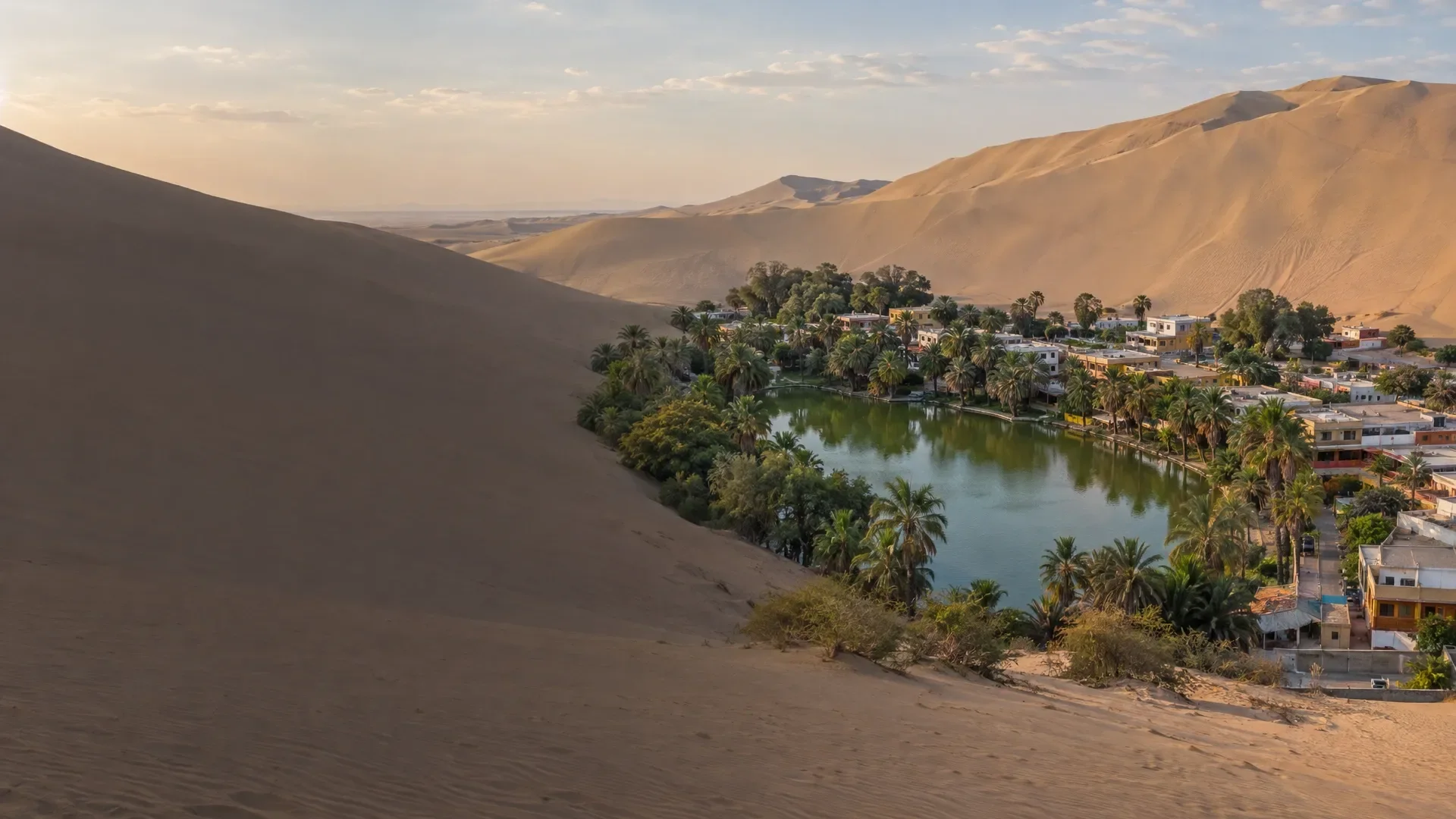 Huacachina
AI-generated scene inspired by Huacachina. Created with GPT Image 2.5 Flare via fal.ai; not a photograph of an exact location.
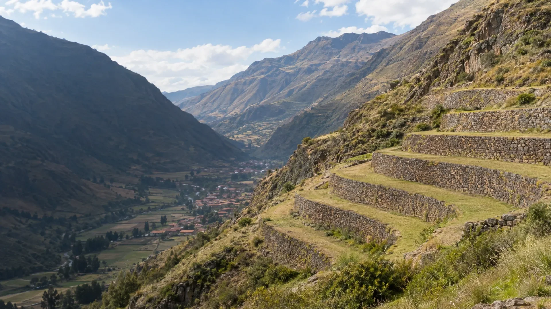 Pisac
PisacAI-generated scene inspired by Pisac. Created with GPT Image 2.5 Flare via fal.ai; not a photograph of an exact location.
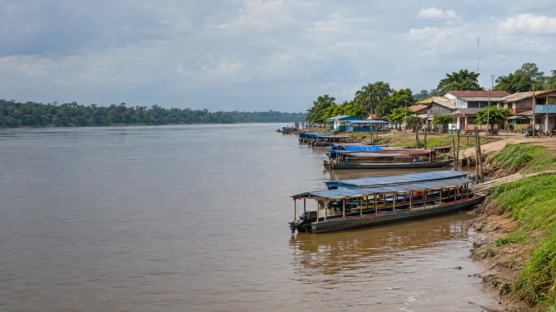 Puerto Maldonado
AI-generated scene inspired by Puerto Maldonado. Created with GPT Image 2.5 Flare via fal.ai; not a photograph of an exact location.
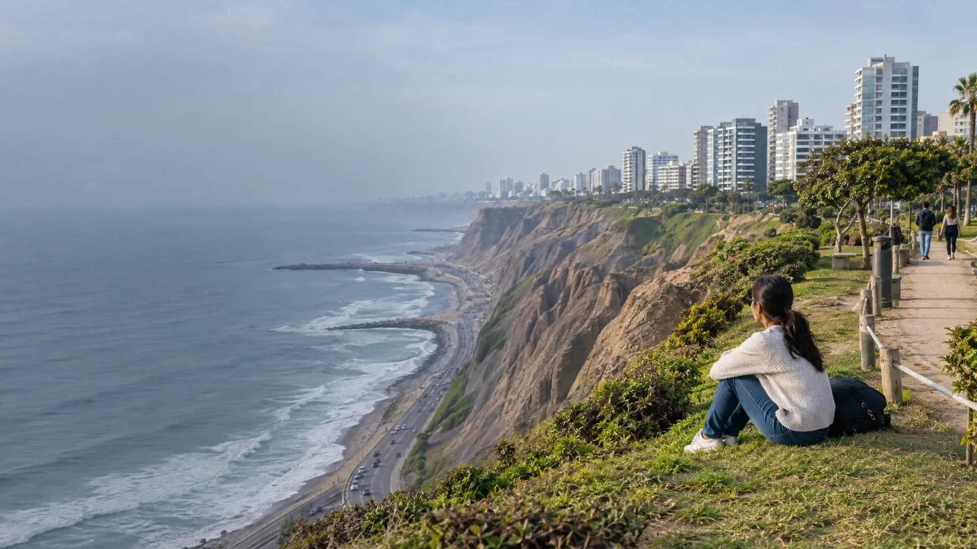 Lima
LimaAI-generated scene inspired by Lima. Created with GPT Image 2.5 Flare via fal.ai; not a photograph of an exact location.
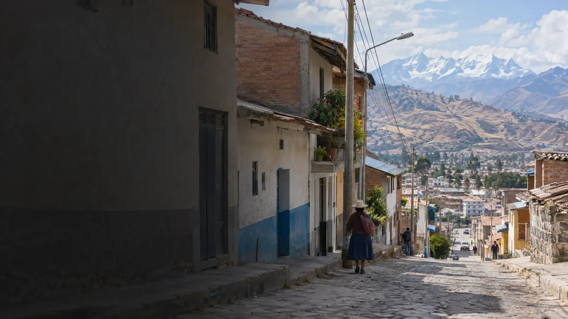 Huaraz
AI-generated scene inspired by Huaraz. Created with GPT Image 2.5 Flare via fal.ai; not a photograph of an exact location.
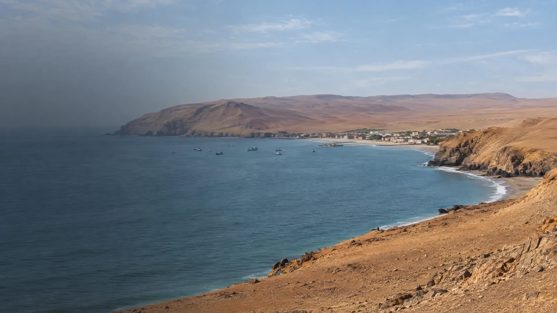 Paracas
AI-generated scene inspired by Paracas. Created with GPT Image 2.5 Flare via fal.ai; not a photograph of an exact location.
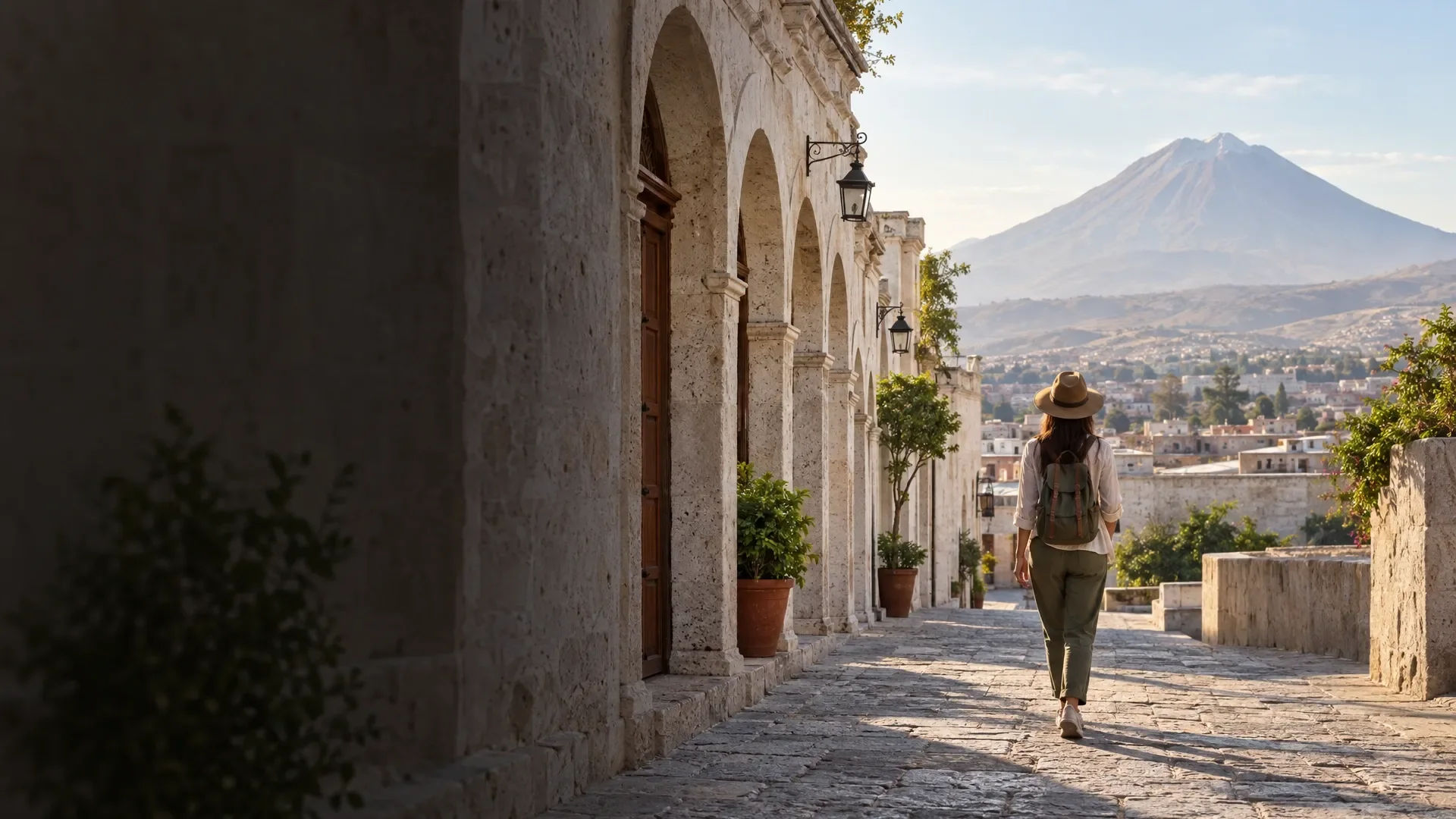 Arequipa
AI-generated scene inspired by Arequipa. Created with GPT Image 2.5 Flare via fal.ai; not a photograph of an exact location.
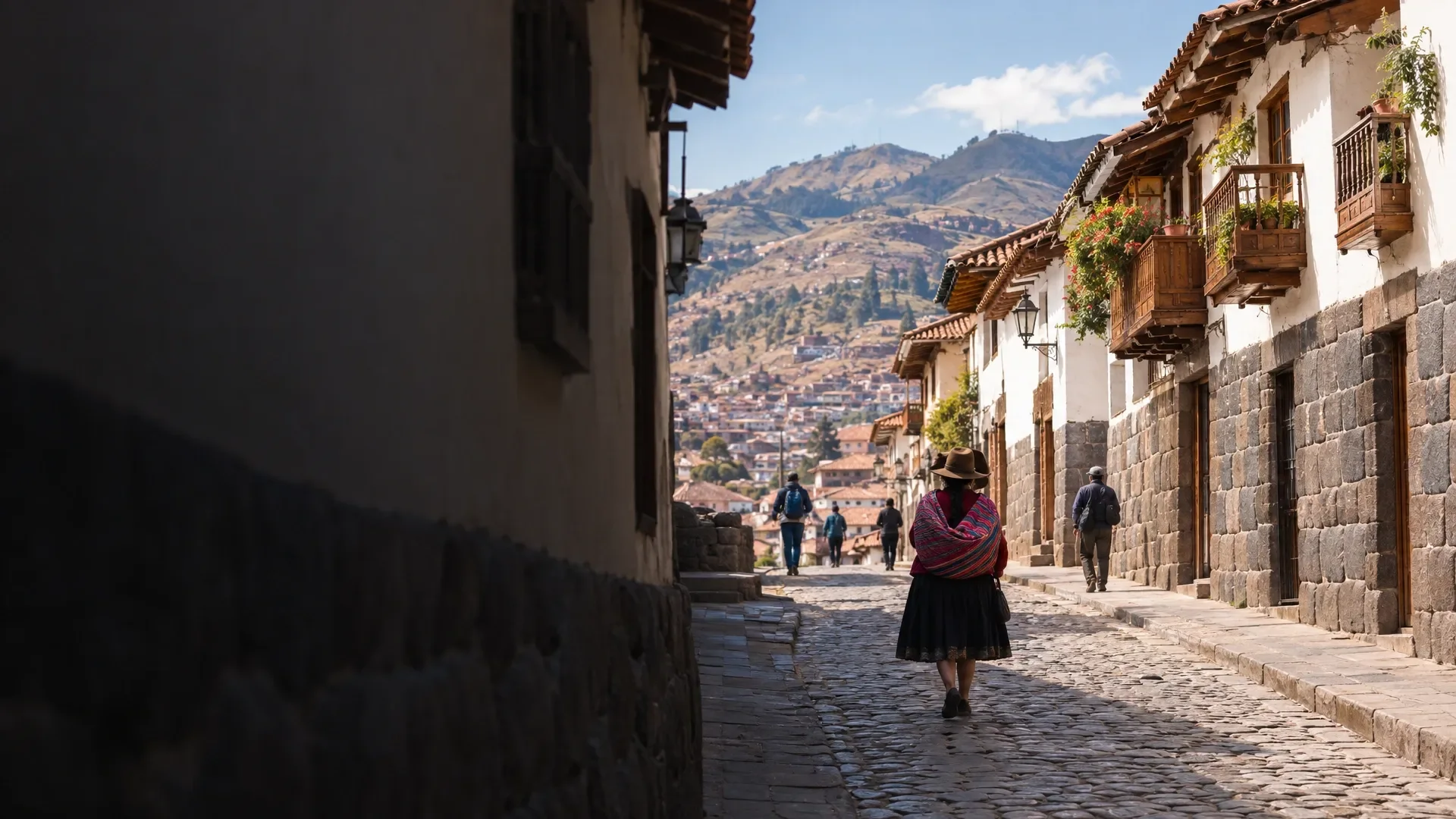 Cusco
CuscoAI-generated scene inspired by Cusco. Created with GPT Image 2.5 Flare via fal.ai; not a photograph of an exact location.
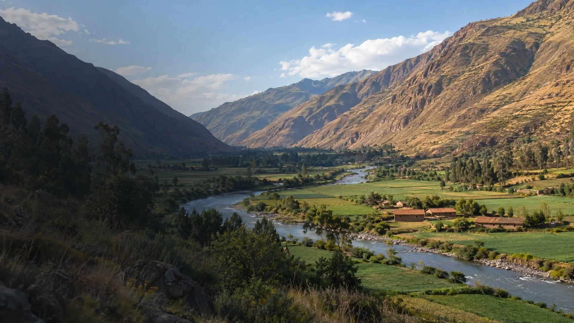 The Sacred Valley
AI-generated scene inspired by The Sacred Valley. Created with GPT Image 2.5 Flare via fal.ai; not a photograph of an exact location.
 The Colca Valley
AI-generated scene of agricultural terraces and a river, inspired by the Colca Valley. Created with GPT Image 2.5 Flare via fal.ai; not a photograph of an exact location.
 Regions
 Places
 Sights
 Activities
 Restaurants
 Tours
Tours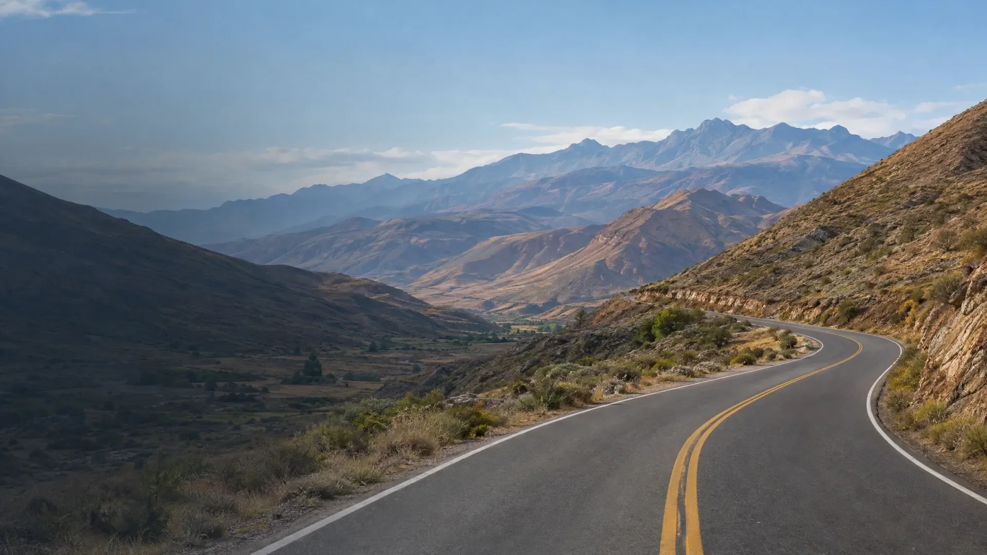 Transport
 Routes
 Guides & stories
 A phone, power bank and notes for the journey.
 Taking a moment to plan your journey.
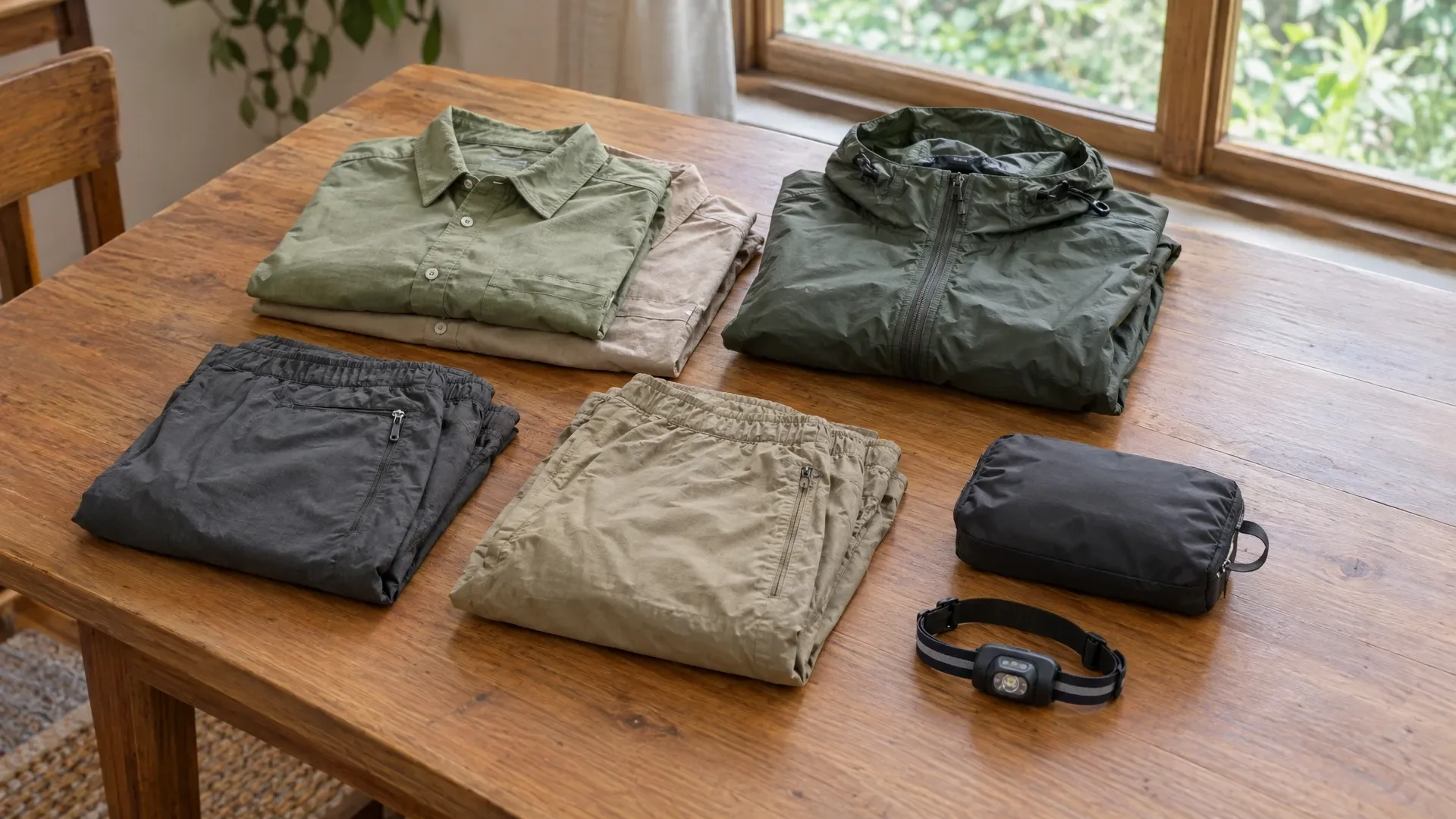 Think about what you will use before it all goes into the bag.